Log in
All resources
Create a design
1,492 Free Images of French Language Maps Of France
bibliothèque nationale de france
maps from gallica
guides joanne
sanson maps of asia
maps by nicolas sanson
map of the circle of austria by sanson
robert cordier (engraver)
maps by alexis-hubert jaillot
maps by willem and johannes blaeu
1700s maps of austria
maps by nicolas sanson
sanson maps of asia
maps by nicolas sanson
sanson maps of asia
maps by nicolas sanson
sanson maps of asia
maps by nicolas sanson
sanson maps of asia
maps by nicolas sanson
sanson maps of asia
maps from gallica
guides joanne
maps of erfurt by braun & hogenberg
maps of jena by braun & hogenberg
panoramic maps of seville by braun & hogenberg
maps of cadiz by braun & hogenberg
maps of vangiones by sanson
1670s maps of hesse
atlas minor gerardi mercatoris (1614, maps)
17th-century double hemisphere world maps
17th-century maps of africa
maps from gallica
old maps of gâtinais and sénonais
maps by willem and johannes blaeu
1660s maps of france
maps of le mans
maps by pieter van der keere
ships on maps
gaspard de chabrol
maps from gallica
map of the circle of austria by sanson
1700s maps of austria
maps by hendrik hondius the younger
old maps of gâtinais and sénonais
maps of diu by braun & hogenberg
diu, india
a map of the british empire in america with the french and spanish settlements adjacent thereto
1730s maps of the caribbean
sanson maps of the netherlands
robert cordier (engraver)
maps of avignon by braun & hogenberg
bibliothèque nationale de france
le royaume de france distingué by guillaume sanson
1724 maps of france
le royaume de france distingué by guillaume sanson
1724 maps of france
le royaume de france distingué by guillaume sanson
1724 maps of france
18th-century maps of north america
1708 maps of north america
old maps of the kingdom of naples
lago patria
maps by alexis-hubert jaillot
maps by nicolas sanson
tresor des cartes geographiques (1659)
bibliothèque nationale de france
tresor des cartes geographiques (1659)
bibliothèque nationale de france
mappe-monde geo-hydrographique (sanson and jaillot, 1674)
bibliothèque nationale de france
maps of the land of valkenburg
guillaume sanson
bibliothèque nationale de france
noviciat des jésuites (paris)
maps of the course of the rhine by guillaume sanson
robert cordier (engraver)
carte de france instructive et amusante divisée en quatrevingt six départements - btv1b84949605
bibliothèque nationale de france
pedro murillo velarde
baroque painting
maps from gallica
guides joanne
maps of kozhikode by braun & hogenberg
maps of elmina by braun & hogenberg
tresor des cartes geographiques (1659)
bibliothèque nationale de france
tresor des cartes geographiques (1659)
bibliothèque nationale de france
bibliothèque nationale de france
sanson map of lorraine
carte de france instructive et amusante divisée en quatrevingt six départements - btv1b84949605
bibliothèque nationale de france
old maps of auvergne
1660s maps of france
1670s maps of rhineland-palatinate
maps of vangiones by sanson
maps of france by hendrik hondius
17th-century maps of xaintonge
maps of cagliari by braun & hogenberg
maps of valletta by braun & hogenberg
maps of philippeville by braun & hogenberg
maps of mariembourg by braun & hogenberg
maps of salzburg by braun & hogenberg
maps of ulm by braun & hogenberg
1670s maps of greece
guillaume sanson
maps by pieter mortier
maps from gallica
maps from gallica
guides joanne
mappe-monde geo-hydrographique (sanson and jaillot, 1674)
bibliothèque nationale de france
antoine-françois tardieu
maps from gallica
cartes generales de toutes les parties du monde (1658)
1650s maps of saxony
maps of alsace by guillaume sanson
1690s maps of baden-württemberg
maps by alexis-hubert jaillot
old maps of the tyrol
maps of alsace by guillaume sanson
1660s maps of baden-württemberg
maps of alsace by guillaume sanson
1690s maps of baden-württemberg
maps of alsace by guillaume sanson
1660s maps of alsace
maps by willem and johannes blaeu
17th-century maps of xaintonge
bibliothèque nationale de france
sanson maps of asia
bibliothèque nationale de france
sanson maps of asia
bibliothèque nationale de france
sanson maps of asia
map of europe by guillaume sanson (1674)
bibliothèque nationale de france
map of the circle of austria by sanson
1700s maps of austria
pierre antoine tardieu
françois houiste
bibliothèque nationale de france
guillaume sanson
maps by alexis-hubert jaillot
old maps of the tyrol
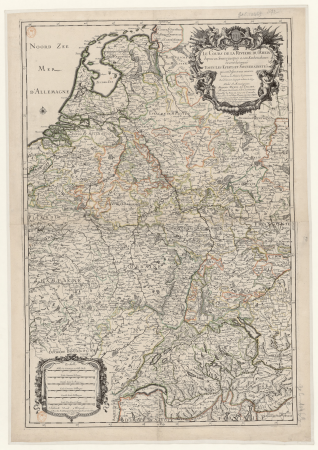
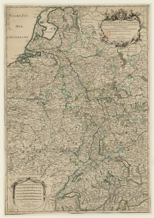
sanson maps of the circles of germany
bibliothèque nationale de france
sanson maps of the circles of germany
bibliothèque nationale de france
bibliothèque nationale de france
sanson maps of asia
map of europe by guillaume sanson (1674)
bibliothèque nationale de france
le sénégal. la france dans l'afrique occidentale (1889)
orientalist painting
maps from gallica
guides joanne
maps from gallica
guides joanne
maps of bar-le-duc by braun & hogenberg
bibliothèque nationale de france
maps of the iberian peninsula by guillaume delisle
1700s maps of the iberian peninsula
map of the circle of austria by sanson
1670s maps of austria
maps from gallica
guides joanne
maps from gallica
guides joanne
maps from gallica
guides joanne
map of the upper rhenian circle by sanson
maps by nicolas sanson
1669 maps of south america
guillaume sanson
old maps of switzerland
maps from gallica
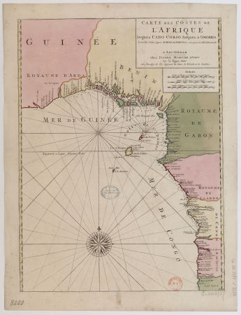
19th-century maps of gabon
1877 maps of africa
pierre antoine tardieu
heinrich keller
sanson maps of the netherlands
1700s maps of the netherlands
old maps of switzerland
maps from gallica
map of the circle of austria by sanson
1670s maps of austria
antoine-françois tardieu
1800s maps of hispaniola
antoine-françois tardieu
1800s maps of hispaniola
carte des pays-bas catholiques by guillaume sanson
maps by alexis-hubert jaillot
romanticism,neoclassicism
1852 maps of france
maps from gallica
guides joanne
bibliothèque nationale de france
sanson map of lorraine
sanson maps of south america
1719 maps of south america
maps of the course of the rhine by guillaume sanson
bibliothèque nationale de france
map of europe by nicolas and guillaume sanson (1669)
bibliothèque nationale de france
bibliothèque nationale de france
sanson maps of asia
bibliothèque nationale de france
sanson maps of north america
map of the circle of austria by sanson
context files from gallica
301 - 400 of 1,492
Next page
/ 15


![Gastinois and Senonois / [Blaeu], 1631](https://cdn.creazilla.com/illustrations/10001540570/gastinois-and-senonois-blaeu-1631-md.jpg)


![Treasure of geographical maps of the main states of the universe [...], 1659](https://cdn.creazilla.com/illustrations/10000169261/treasure-of-geographical-maps-of-the-main-states-of-the-universe-1659-md.jpg)
![Treasure of geographical maps of the main states of the universe [...], 1659](https://cdn.creazilla.com/illustrations/10000612015/treasure-of-geographical-maps-of-the-main-states-of-the-universe-1659-md.jpg)


![Treasure of geographical maps of the main states of the universe [...], 1659](https://cdn.creazilla.com/illustrations/10000868471/treasure-of-geographical-maps-of-the-main-states-of-the-universe-1659-lg.jpg)
![Treasure of geographical maps of the main states of the universe [...], 1659](https://cdn.creazilla.com/illustrations/10000714295/treasure-of-geographical-maps-of-the-main-states-of-the-universe-1659-md.jpg)


![Map of the country of Xaintonge / [Mercator], 1630](https://cdn.creazilla.com/illustrations/10000600476/map-of-the-country-of-xaintonge-mercator-1630-md.jpg)


![Map of Finland / drawn up by P. Lapie,...; Engraved by Tardieu senior... Scales of 12 Myriameters [=0m. 047], of 25 Common Leagues of France [=0m. 054]; of 12 Miles of Finland, 1808](https://cdn.creazilla.com/illustrations/10001521238/map-of-finland-drawn-up-by-p-lapie-engraved-by-tardieu-senior-scales-of-12-myriameters-0m-047-of-25-common-leagues-of-france-0m-054-of-12-miles-of-finland-1808-md.jpg)


![Xaintonge and Angoumois / [Blaeu], 1635](https://cdn.creazilla.com/illustrations/10000256086/xaintonge-and-angoumois-blaeu-1635-md.jpg)